Route / Chiang Mai / Thailand
CMU to Doi Pui
A mountain ride from the university through Wat Pha Lat and Doi Suthep, finishing with Hmong village views and khao soi in Doi Pui.
Route overview
Google Maps
Ride weather
Doi Pui
Rain likely
Today
- Temperature
- 20–23°C
- Rain
- 100% peak
- Gusts
- 31 km/h
Today is forecast at 20–23°C with up to 100% rain. Mountain weather can change quickly—check conditions before leaving.
Forecasts by Open-Meteo- Distance
- 21.1 km
- Moving · one way
- 45 min
- Allow
- 4–5 hours
Direct skips the waypoint stops. With stops keeps Wat Pha Lat and the viewpoint before Doi Suthep. Both open in two-wheeler mode.
The route
- 01
Start
Chiang Mai University
Start near the university and join Route 1004 before the road begins to climb into the national park.
View stop - 02
Forest temple
Wat Pha Lat
Take the short turn-off to this quiet temple in the trees. Park respectfully and leave time to walk through the grounds.
View stop - 03
Roadside stop
Chiang Mai viewpoint
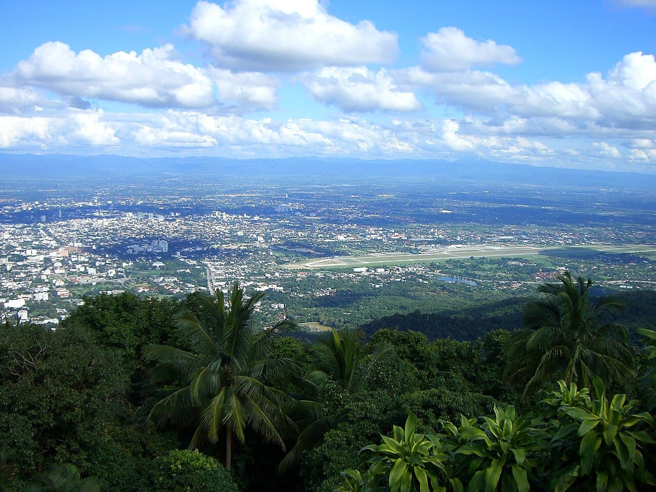
A small pull-in below the summit with a wide view back across Chiang Mai. Stop only where the bike is fully clear of the road.
View stop - 04
Mountain temple
Wat Phra That Doi Suthep
Continue to the mountain temple above the city. Cover shoulders and knees before entering the temple grounds.
View stop - 05
Finish / food
Doi Pui Hmong Village
Finish in the Hmong village at Khao Soi Loong Surin. Park nearby, eat, and leave time to explore the village on foot.
View stop
Coffee / food
Good nearby
Coffee
Near startStreet Coffee Crew
A small street-style coffee stop on Yu Yen Road, close to the CMU start for an easy drink before the climb.
Open in MapsFood
Near destinationKhao Soi Loong Surin
The route finishes at this Doi Pui khao soi stop, inside the Hmong village beyond Doi Suthep.
Open in Maps
Video
Watch the ride
Route video coming soon
Ride note
Route 1004 is paved but steep and busy in places. Beyond Doi Suthep the road becomes narrower and more variable, with tight bends, changing weather and slower traffic.